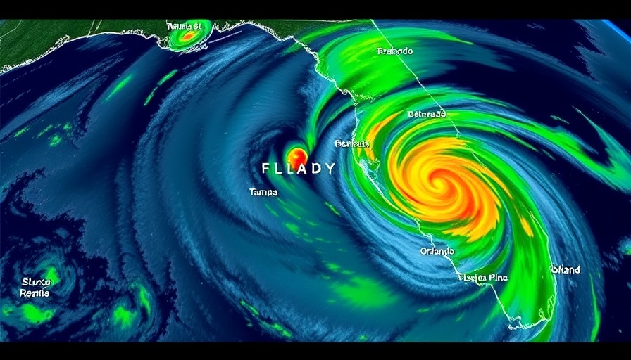
Stormy Conditions Ahead: What Tampa Bay Residents Should Know
As stormy conditions sweep across Florida, residents in the Tampa Bay Area are bracing for a period of heavy rain and gusty winds. Starting Sunday evening and extending into the early part of the week, a significant weather system is expected to deliver 1-3 inches of rain, with some localized areas potentially seeing even more. This atmospheric river, building through the Southeast, is already causing issues for many Floridians, especially following the recent tornado outbreaks reported in the panhandle.
What's Causing the Turbulent Weather?
According to FOX 13 Meteorologist Valerie Mills, the low pressure system driving these storms originates from a powerful weather front that has already produced tornadoes to the north. This weather phenomenon signifies a dramatic change in conditions, particularly as it follows a period when many areas have faced drought. The imminent rains are anticipated as a significant relief for parched landscapes across the region.
Timing and Impacts of the Storms
As the storms develop, the coverage is expected to ramp up significantly, from 60% on Sunday to 80% by Monday. Central Florida will likely be hardest hit, with particular concentrations of rainfall expected in the morning hours before easing later in the day. These storms come with risks—not just soaking rains but also the potential for flooding in low-lying areas. Reports indicate that winds could reach speeds of 47 MPH, contributing to dangers across the area.
The Silver Lining: What This Means for Community
While the warning signs of heavy rainfall and storms may initially seem ominous, it’s essential to acknowledge the positive aspect—the potential replenishment of water resources. For local communities dealing with drought, this could be a much-needed relief. Clearwater and other nearby areas are encouraged to prepare for localized flooding which could arise from the anticipated downpour.
What Comes After the Storm?
After Monday's storm fronts pass, residents can expect a reprieve with significantly reduced chances of rain for most of the week. Tuesday will see about a 20% chance of lingering precipitation, followed by a further decline on Wednesday. With storm risks subsiding, it’s crucial for residents to stay informed and prepared for potential recovery from any storm damage.
Staying Safe During Severe Weather
As always, the safety of our community comes first. Residents are urged to keep an eye on local news channels and weather services for the latest updates and alerts. Preparing an emergency kit, staying indoors during storms, and ensuring your property is secured can help mitigate risks associated with severe weather. Your engagement and preparedness play a crucial role in community safety and resilience.
Ultimately, storms like these exemplify the unpredictable nature of Florida’s weather. While it poses challenges, it also offers opportunities for restoration and connection among neighbors as communities come together. Stay tuned to FOX 13 for ongoing updates and safety tips as we navigate these stormy conditions.
 Add Row
  Add
Add 


 Add Row
  Add
Add 

Write A Comment